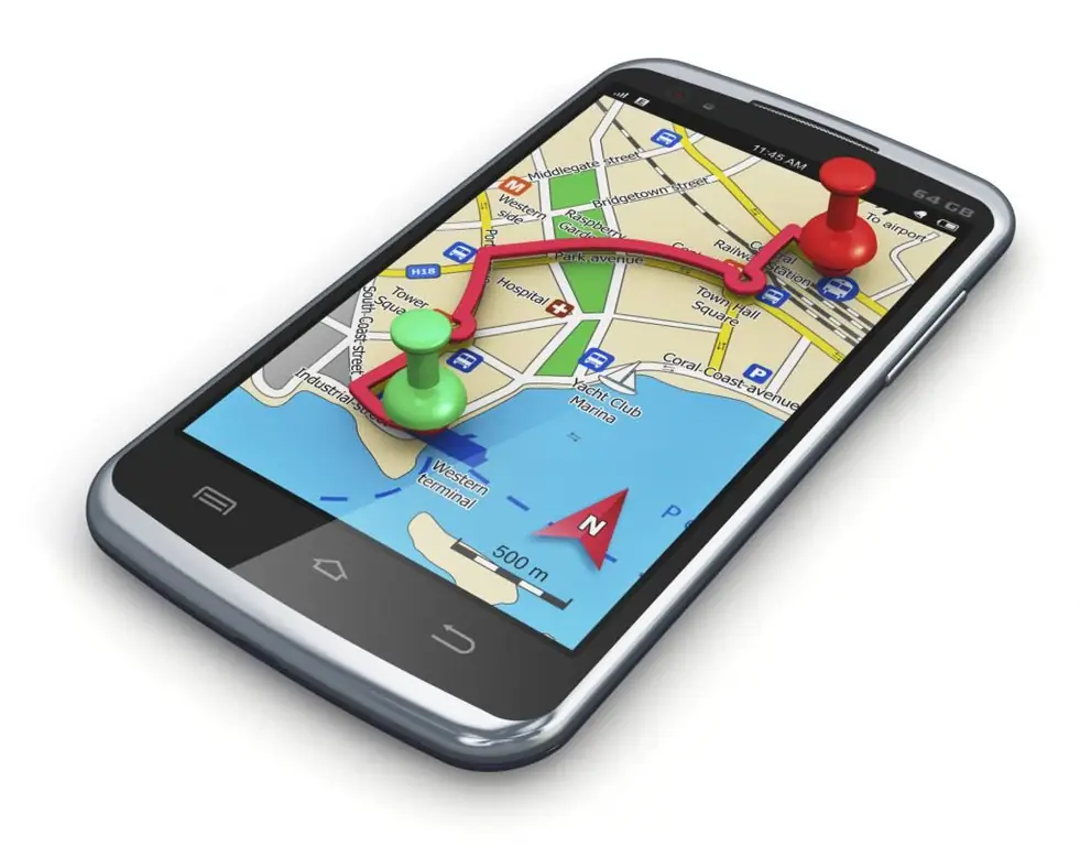
Navigation systems have tightly entered human life. Programs can be installed in mobile gadgets and you can buy separate devices for navigation. Users can easily find interesting places to visit and build a route to the desired address using GPS satellites. However, not every gadget owner knows how to install a map on a navigator or update an existing one.
Most Common Navigation Apps
Today there are many services for laying routes. However, not everyone was able to gain popularity and reach a large audience of users. The situation on the roads is constantly changing: new interchanges are being built, new traffic lanes are being added.
Not every developer can cope with frequent system updates and entering reliable data into maps, so it is worth highlighting the most reliable navigation systems:
- "Yandex. Maps";
- "Navitel Navigator";
- Maps. Me.
Each application containsthe necessary set of functions for building a route and is equipped with an extensive and accurate base of maps of the area.

Yandex. Maps
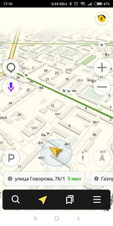
"Yandex. Navigator" is on the first lines among all navigation systems for Android, iOS, Windows Phone. The necessary parts of the maps are loaded into the internal memory of the device, then deleted automatically. While driving along the route, the user receives the latest data on traffic events and traffic jams. The service is equipped with all the necessary functionality:
- The maps are drawn with a high level of detail.
- The route is built taking into account traffic jams and congestion of road sections.
- The "Traffic" function is displayed on the screen of the device and off the route.
- Ability to leave a traffic event notification on the map.
- Filters for required POIs (gas stations, hotels, cafes, shops, leisure parks).
- Built-in voice search and an assistant whose voice can be changed.
- Quality and intuitive interface with automatic night mode.
- Indicator of speed in the upper left corner and the maximum allowable in the right.
- Ability to switch to different modes of movement: on foot, by car, by bus, by bicycle.
Most of the features require a permanent internet connection to work properly. Maps and route guides retain their functionality if they are preloaded into the device's memory.

Upload maps to Yandex. Navigator
The program is distributed free of charge and is available for download in the official application store in the smartphone. You can install Yandex. Maps on the navigator from the application menu. To do this, follow these steps:
- Start the navigator on the device.
- Tap the menu key in the lower right corner of the display.
- Click on the line "Download maps".
- In the search box, write the desired city or region.
- Click on the arrow icon to download the required map.
Please connect to Wi-Fi networks while downloading to speed up the process and save internet traffic.
Map-navigator for your phone or tablet is free and will work even in the absence of mobile networks using a GPS signal.

Navitel Navigator
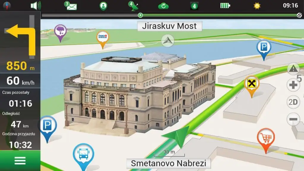
The application is widely used on smartphones and special GPS devices for accurate route guidance. The system is equipped with nm2, nm3 format cards, which require updating to provide correct data.
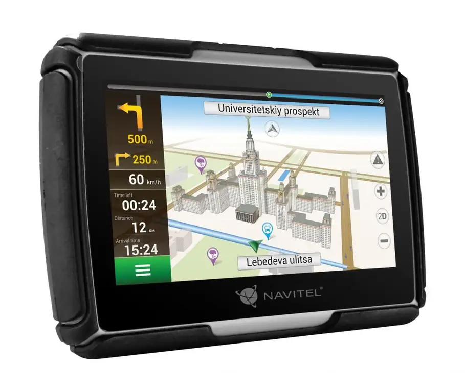
On sale, there are often branded devices from Navitel or other manufacturers with built-in maps and the necessary functions for laying a route. In this case, an additional purchase of a key for full-fledged work is not required. The devices are equipped with special power adapters for the car and branded fasteners on the windshield.
Navitel system functionality:
- Detailedatlas drawing.
- Built-in services with traffic and weather display.
- Auto switch to night and day mode.
- Using the Speedcam file for speeding alerts, speed bumps, sharp curves and other traffic events.
- Frequent application updates and rare errors during operation.
The disadvantages of users include the need to buy the full version when installed on a smartphone through the official application store. You will also have to pay for such a function as uploading a map to the navigator. 7 days are given to check the functionality, after which the purchase of a key from the developers is required.

Upload maps to Navitel Navigator
There are two ways to install Navitel maps on the navigator: through the application menu and by downloading a file to the device's memory.
The first way is quite simple:
- Need to enter the navigator menu.
- Go to the My Navitel tab.
- A window will open with options to update the atlas or download new maps.
- The device will require you to make a payment after selecting a card and entering the key.
- To do this, go to the official website of the application and log in to your account.
- Pay by bank transfer.
- Enter the received key into the device.
- The map will start downloading automatically.
You can install maps on your Explay or Prestigio navigator in the same way.
There is also a second way to install maps. Foryou need:
- Log in to the Navitel official website using a computer.
- Purchase the necessary package of cards.
- Download file in your account.
- Connect your device to your computer.
- Copy the replacement file to the Maps folder on the device.
When turned on, the machine will create a new atlas to replace the old one. The procedure for installing the atlas on a smartphone or tablet is the same as how to install a map on a navigator.

Maps. Me
Free app available for download on mobile devices only. The system supports all common gadgets on Android, iOS and Windows Phone operating platforms. Before installing in an outdated smartphone, you should make sure that there is a built-in GPS receiver.
The main advantage of the system is autonomous work with maps using GPS satellites. A mobile internet connection is only required to update the atlas or download a new area.
Pros include:
- Convenient and intuitive interface.
- Work offline.
- Possibility of route guidance.
- Built-in voice assistant.
- The availability of comprehensive information about interesting places and establishments.
- Frequent updates and the ability to make changes to the object directly from your mobile device.
The disadvantages of users include the lack of the "Traffic" service and the need for free space for cards, which often take up a lotplaces.

Upload maps to Maps. Me
An Internet connection is used to download new atlases, so you should take care of a stable signal in advance. How to install the map on the navigator:
- Launch the app.
- Enter the menu.
- Tap on the line "Download maps".
- In the search window, select the required region or city and click on the download arrow.
Maps will automatically be saved in the device's memory and will be available even without an Internet connection. The atlases will be automatically updated once a month when a smartphone or tablet is connected to a Wi-Fi network.

Conclusions
Each navigator app comes with rich features and a good set of maps. The free distribution of the Yandex and Maps. Me navigation systems is provided by advertising that may appear on the display at an inconvenient moment. Otherwise, the work of services is organized at the highest level.
The Navitel platform can be built-in when buying a navigator for a car or installed into a smartphone or tablet system. The disadvantages of the platform include such difficulties as installing a map on the navigator and paid use.
Downloading navigation from Yandex or Maps. Me into a car gadget is impossible due to the closed nature of the platform.


